
Lunker Property
The Lunker claims represent the first four claims ever staked in the region, back in June 2020 during intital reconnaissance prospecting. These were staked before the Catch Property. Strong clay alteration, quartz-tourmaline veining, and copper-molybdenum anomalism in feldspar porphyry rocks suggest strong potential for porphyry mineralization at depth on the property.
South-Central Yukon, 120-km from Whitehorse, 25-km from highway
80 Hectares, 4 Quartz Claims
Floatplane Accessible
High-Sulphidation Epithermal/Porphyry (Copper-Gold)
Key Facts
-
Compelling grassroots property in underexplored northern extension of Stikine Terrane
-
Lunker 1-4 are the first four claims ever recorded in the area, back in June 2020
-
Quartz-tourmaline veining in feldspar porphyry suggests porphyry system nearby
-
Excellent geology akin to British Columbia's Toodoggone District & Golden Triangle
Project Summary
-
The 1 sq. km, 100%-owned Lunker property is located 120 km north of the capital city of Whitehorse & 25 km from highway and grid power in south-central Yukon.
-
The project is accessible via floatplane or helicopter and lies within the Traditional Territory of the Little Salmon Carmacks First Nation.
-
The claims were staked in 2020 and are the first claims ever staked in the area, preceding the Catch claims.
Regional Geology
The Property lies within the Stikine Terrane, adjacent to a large flexure along the 1,000+ km long Teslin-Thibert fault. The Teslin-Thibert’s southern extension terminates near the Kemess-Toodoggone porphyry-epithermal district. The Stikine is characterized by Late Triassic to early Jurassic volcanic-plutonic arc complexes host to porphyry-epithermal systems including the Red Chris, Schaft Creek, Kemess-Toodoggone, KSM and Galore Creek deposits and mines.
Property Geology
-
The Lunker property partially covers a prominent first vertical derivative "donut", representing a buried intrusive in the area, 7 km along strike of the main mineralized zones at Catch along the same primary structural corridor.
-
Strong hydrothermal clay alteration of feldspar porphyry indicates hydrothermal fluid flow.
-
Quartz-tourmaline veining in feldspar porphyry suggests causative intrusion nearby.
-
Strong copper geochemistry in till-covered environment warrants follow-up exploration.
Historical Exploration
No previous work has ever been conducted on the property. Lunker represents a brand-new grassroots target in the underexplored northern extension of the Stikine Terrane, adjacent to the 1,000+ km long, deep seated, crustal scale strike-slip Teslin-Thibert fault. The Stikine Terrane is characterized by Late Triassic to early Jurassic volcanic-plutonic arc complexes that are well-endowed with copper-gold-molybdenum porphyries including the Red Chris, Schaft Creek, Kemess, KSM and Galore Creek deposits and mines.
Modern Exploration

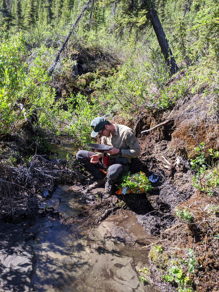
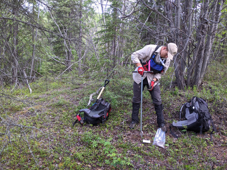
Two small exploration programs have been conducted at the Lunker property and include claim staking, geochemical surveys, and geological mapping, resulting in:
-
Discovery of evidence of hydrothermal fluid flow potentially associated with a nearby copper-gold-molybdenum porphyry system
-
Quartz-tourmaline veining suggesting porphyry potential nearby
-
Identification of large annular magnetic geophysical feature suggestive of a buried intrusive causing magnetic destruction
Future Work
Future work recommendations on the property include a drone or ground magnetic survey, geological mapping, and induced polarization surveys. Results of this work would lead to diamond drilling of the most compelling targets on the property.


